More than an inspection. Intelligence you can act on.
An assessment is meant to answer practical questions about an asset: what it looks like, what condition it is in, what issues were found and where, and what to consider doing about them. Here is what that looks like, and how far along each piece is.
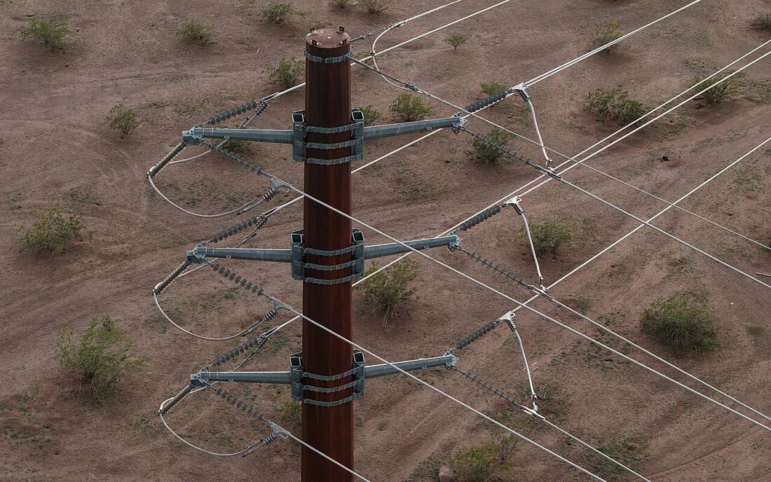
1. A digital twin you can inspect
A point cloud of the structures, conductors, and terrain, with findings such as vegetation near the line located on it. Every point has a measured position, so you can look at an asset from any angle without being on site.
Illustrative stock photo, not a customer asset. Transmission assessment is in development.
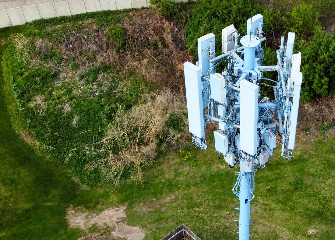
2. Structures at scale
Tall structures that are slow and risky to climb become something you can examine on a screen, from the structure to the equipment compound at its base.
Illustrative stock photo, not a customer asset. Tower findings are being developed with pilot partners.
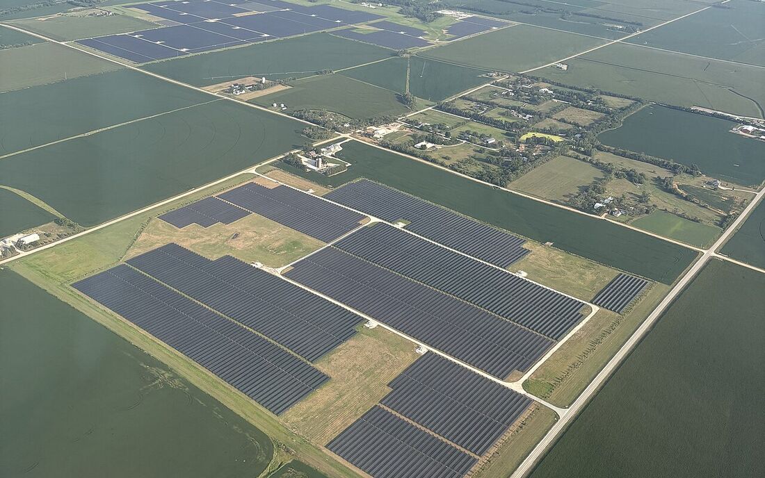
3. Assets in one place
Every assessed asset lives in an inventory, so findings, captures, and later reassessments attach to the same record instead of a one-off report.
Illustrative stock photo, not a customer site.
Scoped to the asset. Honest about maturity.
Not every assessment uses every sensor or includes every deliverable. The scope is agreed before work starts.
Digital twin and 3D representation Demonstrated
A measurable 3D model built from LiDAR point clouds and imagery, with HD video where it helps.
Condition findings and evidence Demonstrated
Defects and anomalies identified and measured, each tied to the data that supports it, so you can check the work.
Georeferenced locations Where available
RTK GNSS and other positioning data place findings in the real world so crews can find them again.
Thermal imagery Planned
Useful for some assets, such as solar arrays. Used only where the asset calls for it.
Asset history and comparison Planned
Compare an asset across assessments to see what changed since the last visit.
Maintenance planning and verification As capabilities mature
Work-order integrations, remediation tracking, and post-repair verification are part of the intended platform. They are not available today.
Decision support, not certification
Argis Labs findings help you understand condition and plan maintenance. They are not legally certified engineering conclusions, they do not carry a professional seal, and they are not a determination of regulatory compliance. Where a decision requires a licensed engineer, the evidence is structured so that engineer can review it.
Criteria differ by asset. For transmission lines we are building clearance checks against published criteria; for other classes we are working with owners to learn what should be measured.
See the asset classes and their status or tell us what you'd need an assessment to answer.
What does your infrastructure need to tell you?
Tell us what you manage, what you need to assess, and what information would help you make better decisions.
Start a Conversation