
One autonomous network. Multiple infrastructure classes.
Argis Labs is building a regional autonomous network designed to serve several classes of distributed infrastructure. Different assets have different inspection triggers, sensors, defect criteria, standards, and buying processes, so each class gets its own workflow on a common platform. Our first deployment is in Phoenix, Arizona.
-
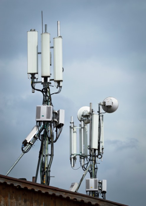 Open to pilots
Telecommunications towers
Structure, mounts, and appurtenances captured from every angle, with condition findings tied to a location on a 3D model.
Read more -
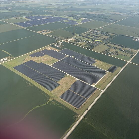 Open to pilots
Solar installations
Array-level thermal and visual data to help locate underperforming or damaged equipment across large sites.
Read more -
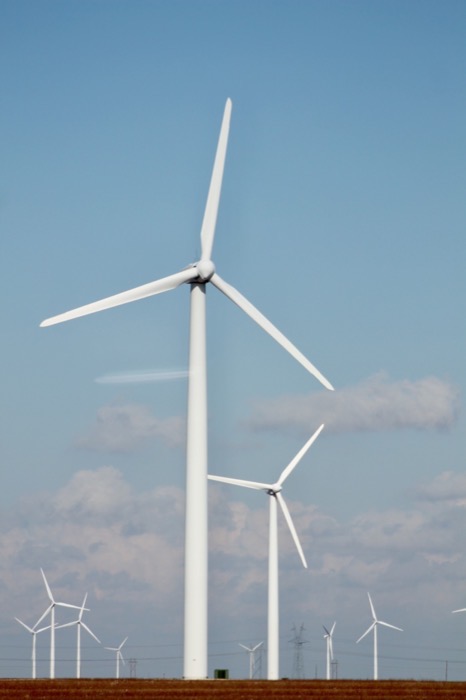 Open to pilots
Wind infrastructure
Blade and tower surface imagery captured without rope access, organized by turbine and component.
Read more -
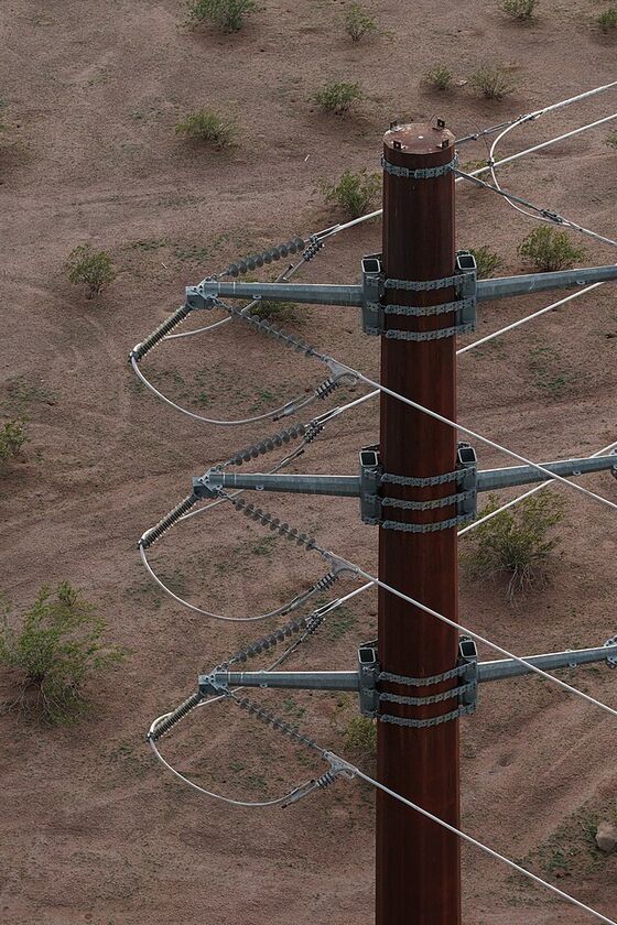 In development
Transmission and utility
LiDAR and imagery fused into a colorized point cloud of the line, with conductor clearance checks against published criteria.
Read more -
 Open to pilots
Bridges
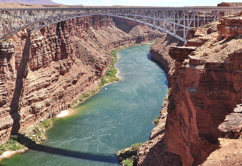
Repeatable imagery and 3D models of decks, girders, piers, and bearings, to reduce how often inspectors need special access equipment.
Read more -
 Open to pilots
Roofs and other physical assets
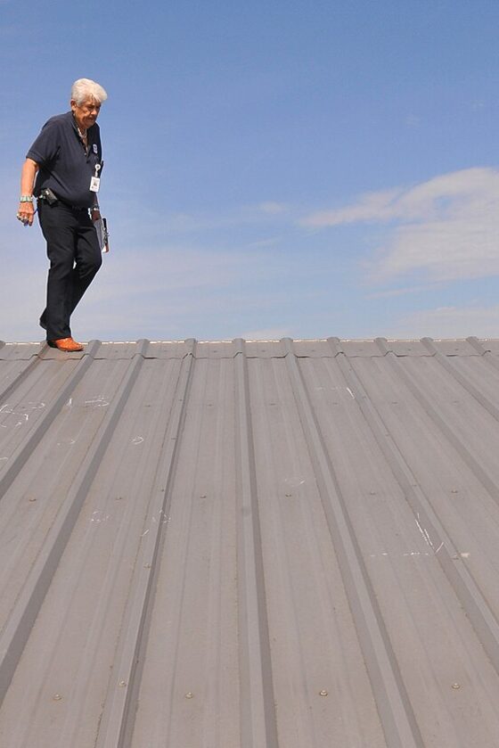
Visual and thermal capture of surfaces that are hard or risky to walk, with findings located on a model.
Read more
- Status labels
- In developmentThe collection and analysis workflow is being built.
- Open to pilotsOn our roadmap. We are looking for pilot partners to shape how we assess it.
What each class involves
We are evaluating demand across several classes in the Phoenix region instead of assuming one will sustain the network. If you manage any of these, your input shapes what we build first.
Telecommunications towers
Open to pilotsStructure, mounts, and appurtenances captured from every angle, with condition findings tied to a location on a 3D model.
- Structure geometry and alignment
- Mounts, antennas, and appurtenances
- Visible corrosion and hardware condition
- Changes in equipment between visits
Solar installations
Open to pilotsArray-level thermal and visual data to help locate underperforming or damaged equipment across large sites.
- Thermal anomalies across modules
- Physical damage and soiling
- Mounting and tracker condition
- Vegetation and site access
Wind infrastructure
Open to pilotsBlade and tower surface imagery captured without rope access, organized by turbine and component.
- Blade surface damage
- Tower and nacelle condition
- Imagery organized by turbine
- Comparison between inspections
Transmission and utility
In developmentLiDAR and imagery fused into a colorized point cloud of the line, with conductor clearance checks against published criteria.
- Conductor-to-ground and vegetation clearance
- Structure condition
- Georeferenced point clouds
- Items that still need a human check
Bridges
Open to pilotsRepeatable imagery and 3D models of decks, girders, piers, and bearings, to reduce how often inspectors need special access equipment.
- Girders, decks, and bearings
- Visible cracking, spalling, and corrosion
- Underside and pier views that are hard to reach
- Change between inspection cycles
Roofs and other physical assets
Open to pilotsVisual and thermal capture of surfaces that are hard or risky to walk, with findings located on a model.
- Surface condition and ponding
- Thermal patterns
- Penetrations and flashing
- Records over time
Why not treat every asset the same?
Because they are not inspected the same. A tower needs close views of mounts and hardware, a solar field needs thermal data across thousands of modules, and a transmission line needs clearance measured over terrain. What triggers an inspection, which sensors are useful, what counts as a defect, and who buys the assessment all differ. A common network and platform can serve them, but the workflow on top has to be asset-specific.
What if my asset isn't listed?
Tell us. We are looking for assets where remote sensing, digital twins, and structured condition assessments create real value, and we would like to hear where you think that is.
Photo credits: tower aerial by Wikideas1 (CC0), bridge photo by Grand Canyon National Park (CC BY 2.0), solar farm aerial by AllTheUsernamesAreInUse (CC0), transmission pole by Rsparks3 (CC0), and roof inspection by Win Henderson / FEMA (public domain), via Wikimedia Commons. Stock photos are illustrative and are not Argis Labs assets or customer sites.


Tell us about your assets.
Tell us what you manage and what you need to assess. If it isn't something we can do yet, we would still like to learn what it should take.
Start a Conversation